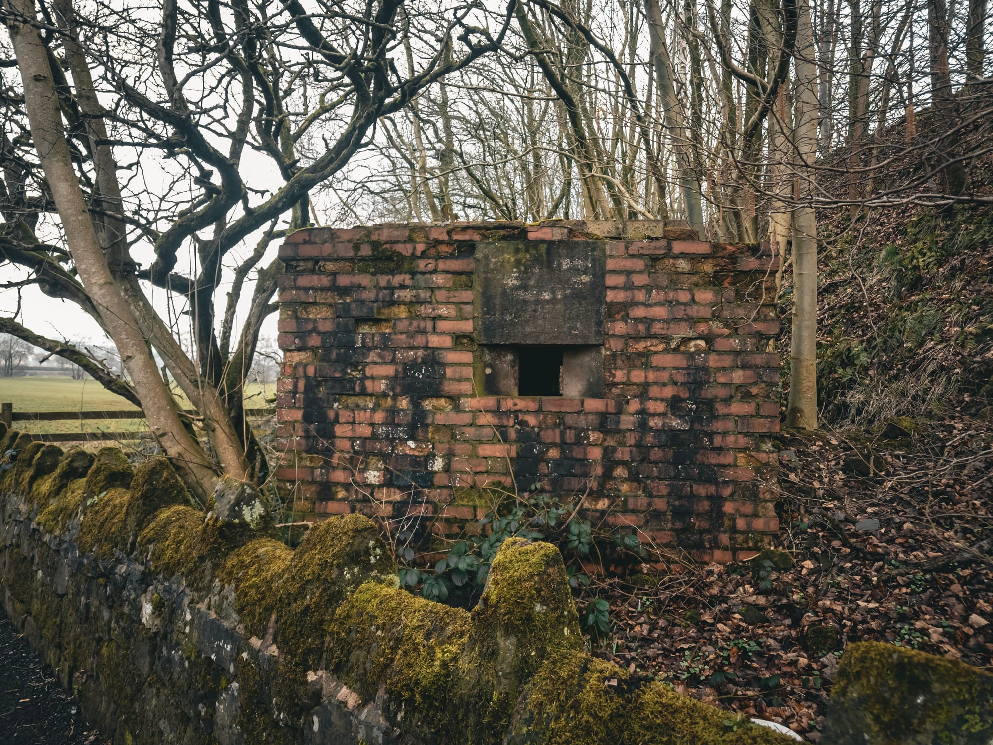
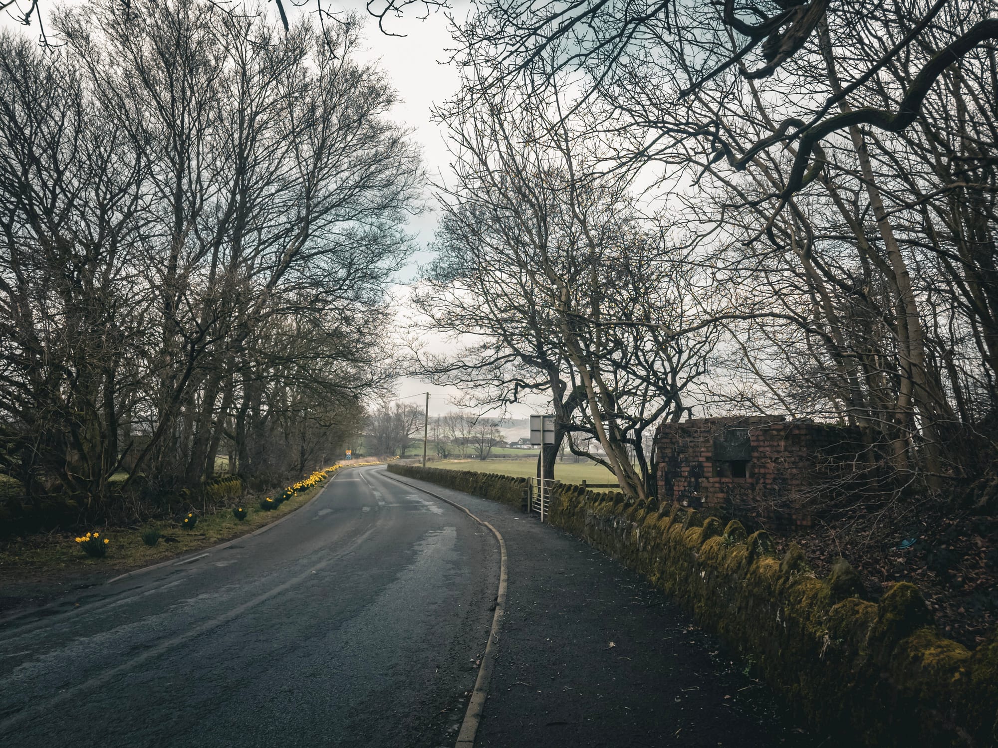
Ever noticed this little brick building on the road to Rudyard Lake?
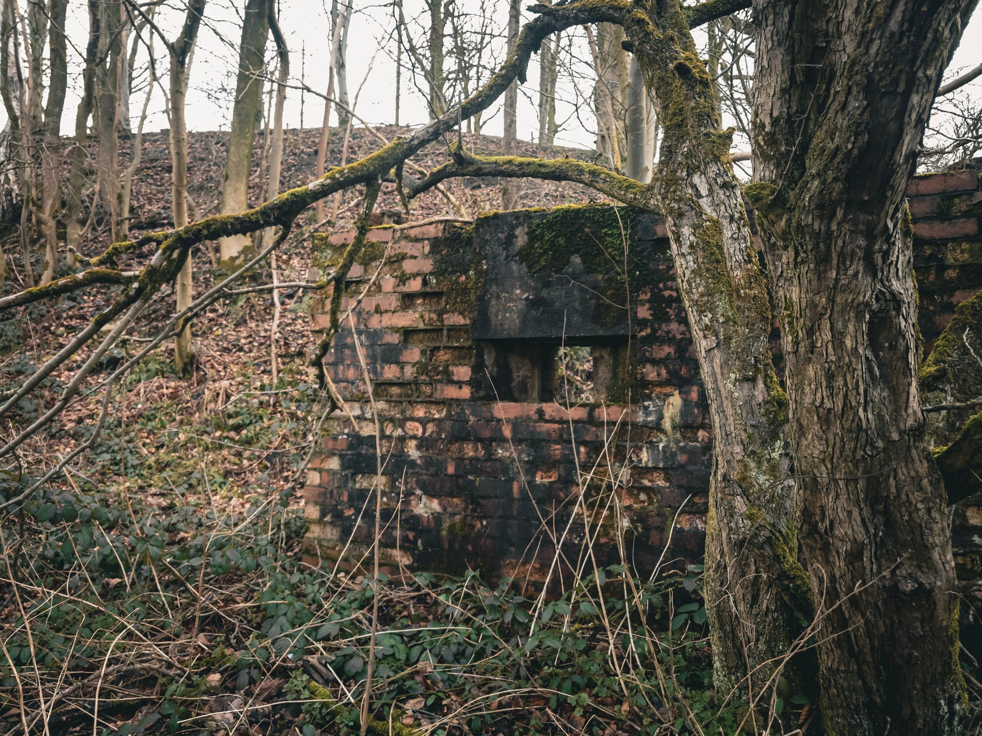
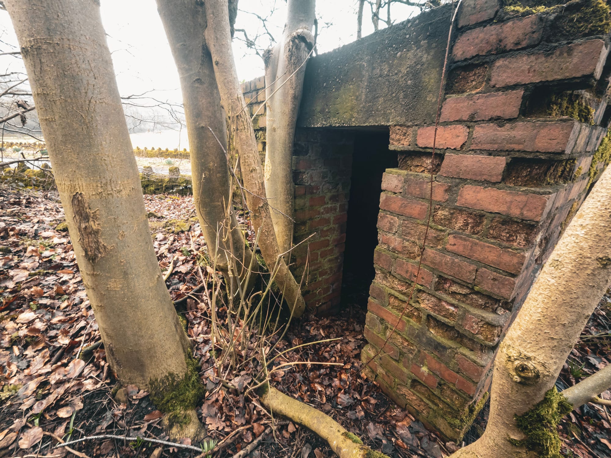
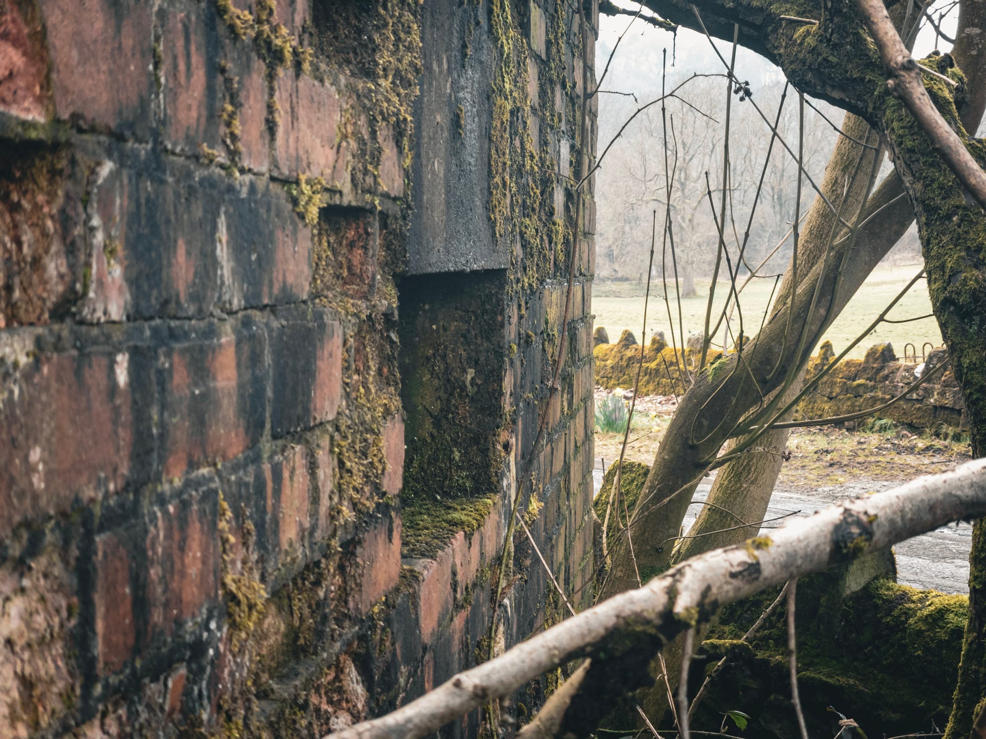
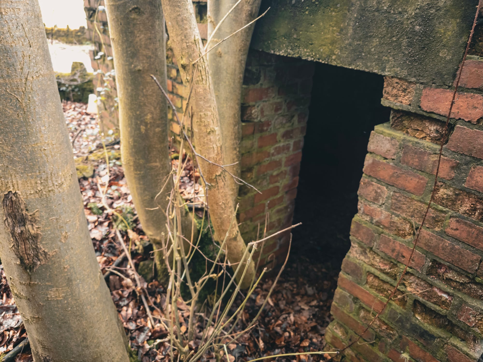
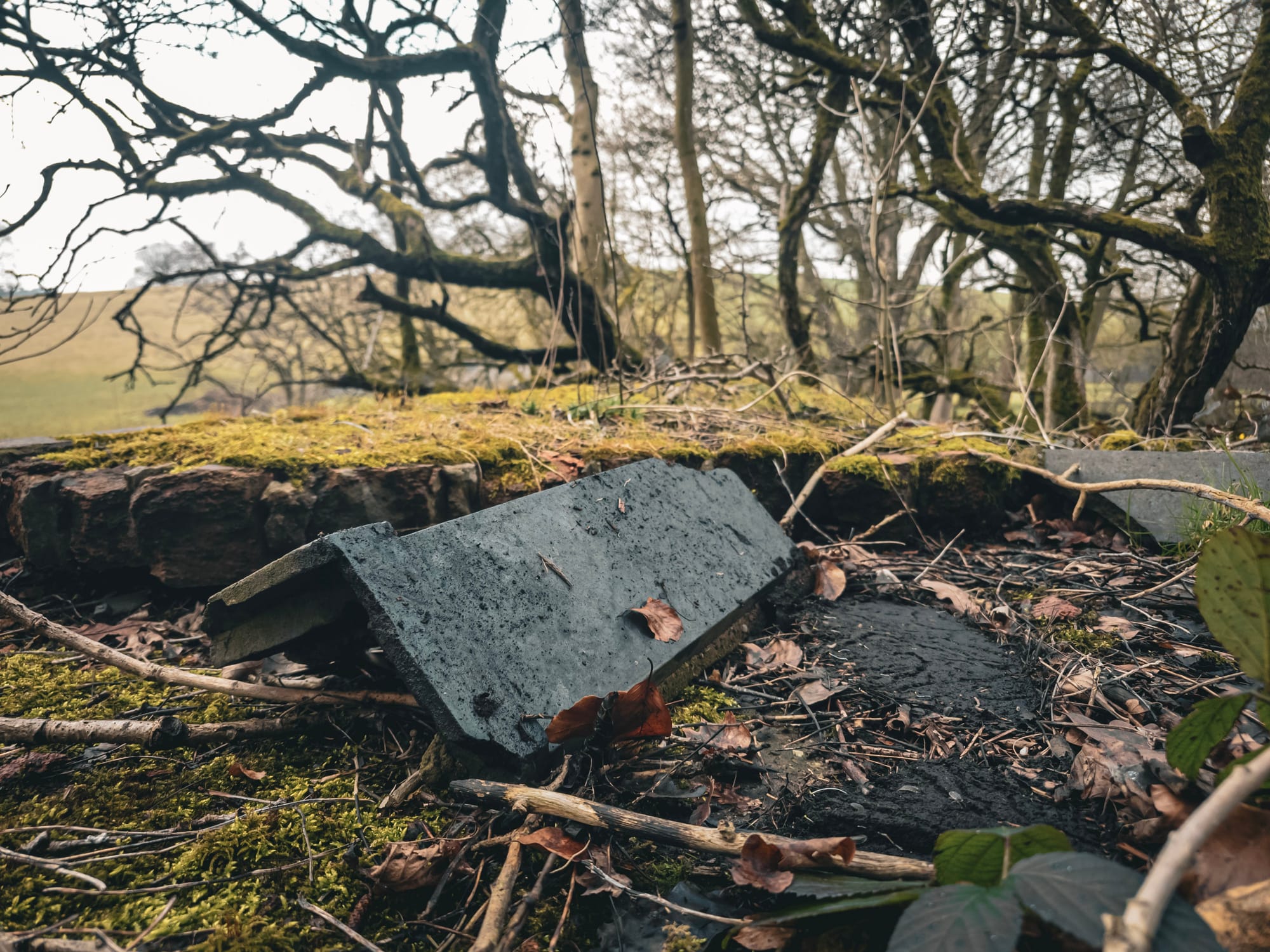
It might look like an old cottage or utility building – but this curious structure is actually a WWII pillbox, cleverly disguised with a pitched roof and gable ends to help it blend into the countryside. Today, the timber roof has collapsed, but the brickwork remains, quietly telling the story of a time when war was on our doorstep.
Rudyard Lake itself isn’t a natural lake – it was built in 1797 to supply water to the canal system. During the Second World War, it became a site of national importance. The lake acted as a reservoir feeding the canals – a vital transport network for goods and materials. If the dam had been destroyed, it could have severely disrupted wartime logistics.
To protect it, camouflaged pillboxes like this one were constructed on key approach roads to defend against potential enemy attacks. Designed to be inconspicuous, this pillbox was made to look like a small cottage, complete with a ridge-style roof and sloping gables – a far cry from the concrete blocks we often associate with wartime defences.
But what exactly is a pillbox?
Pillboxes are small fortified structures, usually made of thick concrete, designed as lookout points and defensive positions. They typically feature narrow slits for firing weapons, offering protection to the soldiers inside while giving them a clear line of sight.
After Churchill’s famous "We shall fight on the beaches" speech in 1940, the UK launched the largest military building programme in its history. In just a few months, over 18,000 pillboxes were built across the country, especially in areas considered vulnerable to invasion – from the coastlines to the canals, bridges, and railways.
Many of them still survive today, often hidden in hedgerows, along riverbanks, or, like this one near Rudyard, disguised as everyday buildings. They’re part of a largely forgotten defensive network that once criss-crossed Britain.
👀 Staffordshire has loads of these hidden gems – from canal routes to rural lanes. Some are barely noticeable until you're right up close. So next time you're out walking, keep an eye out!
The location of this one is - https://maps.app.goo.gl/18xoh1vwupAjzGTX9
📩 Want more local history discoveries straight to your inbox? Sign up for my newsletter here ➡️ www.theredhairedstokie.co.uk
🚶♀️ Fancy joining one of my guided history & heritage walks? Check them out here ➡️ www.theredhairedstokie.com